

Blake Fell, Burnbank Fell, Carling Knott & Sharp Knott
Enjoy outstanding views of surrounding fells and reflective waters
Summary
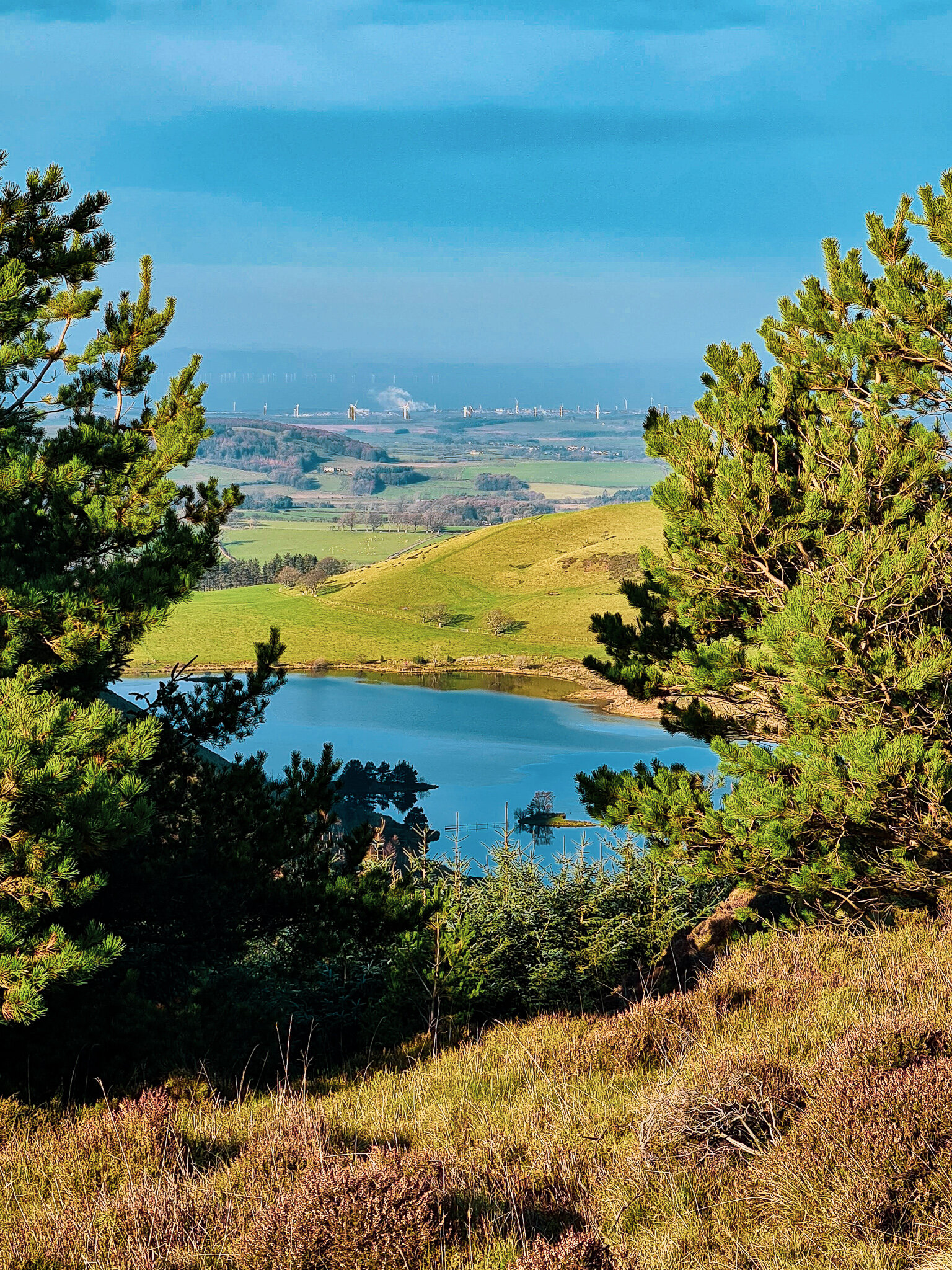
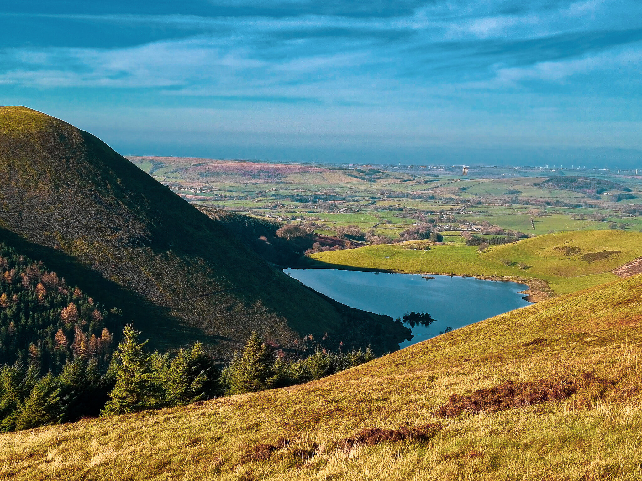
Blake Fell is located on the outskirts of the western lakes and is the highest point around Loweswater. On a clear day it is possible to see as far as the Isle of Man or Snowdon. Although the elevation isn’t necessarily high, you still have fantastic views of the surrounding giants in the lakes including Darling Fell, Loweswater Fells and the Grasmoor range.
The Hike
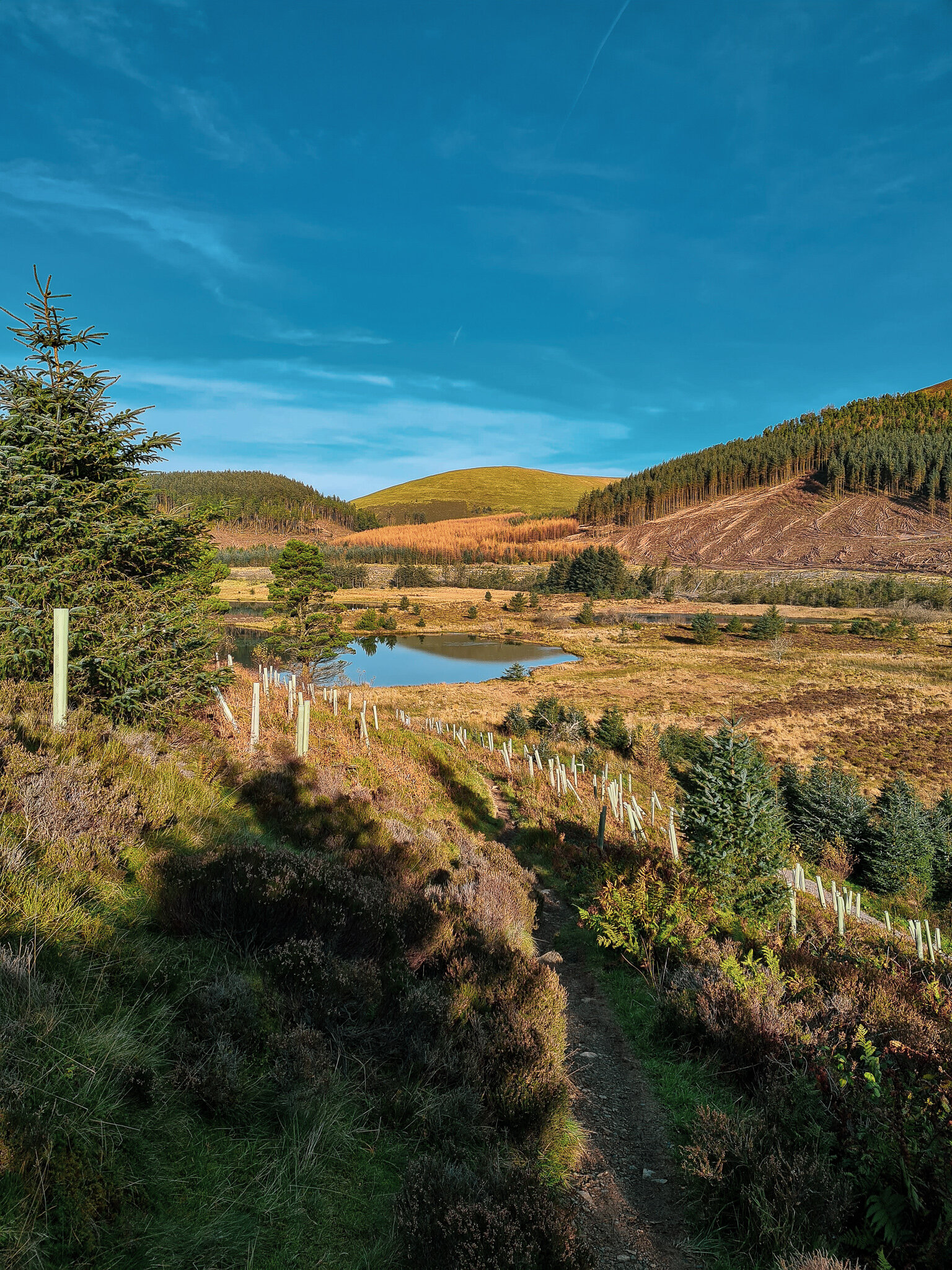
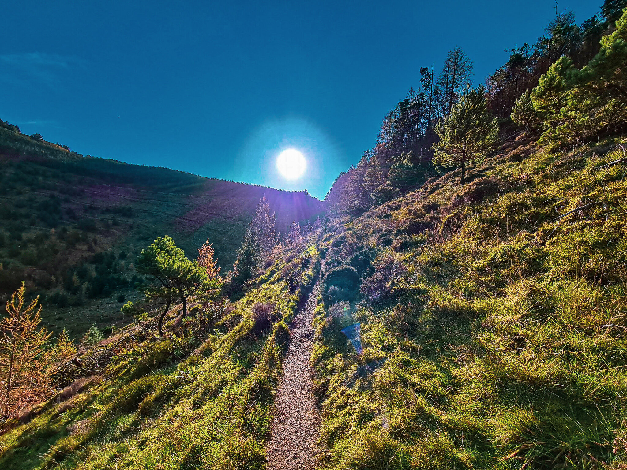
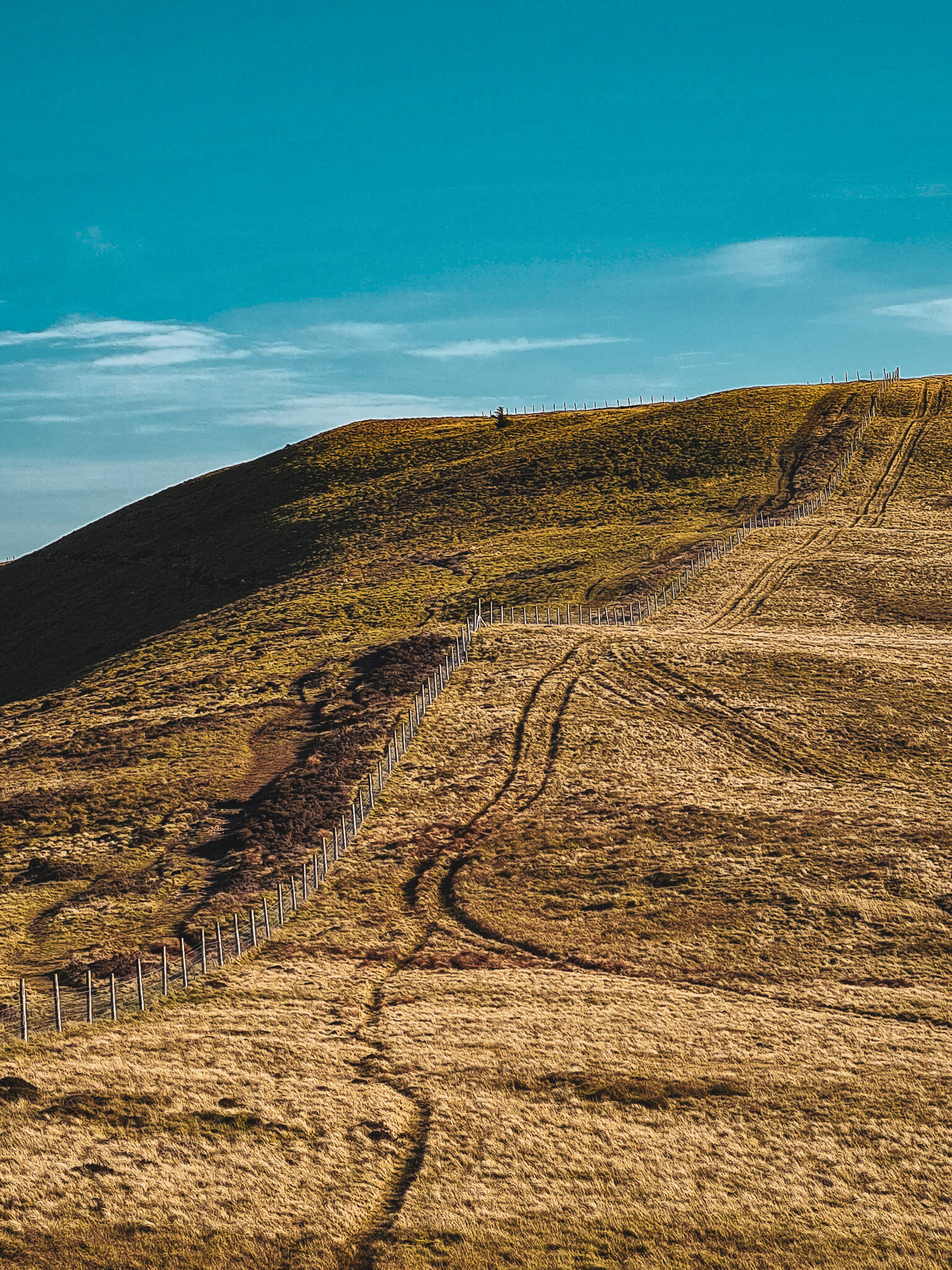
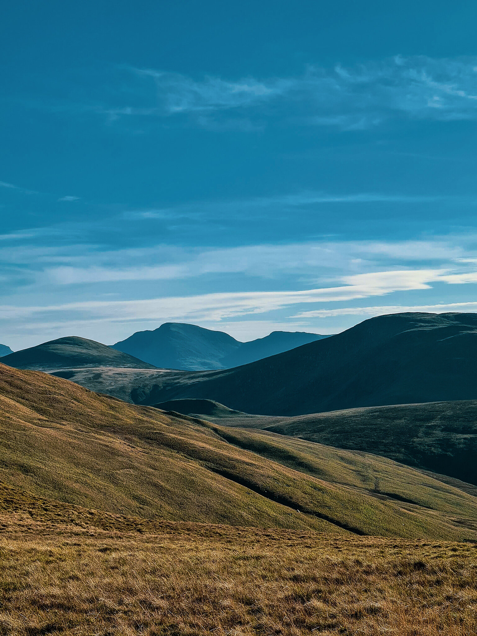
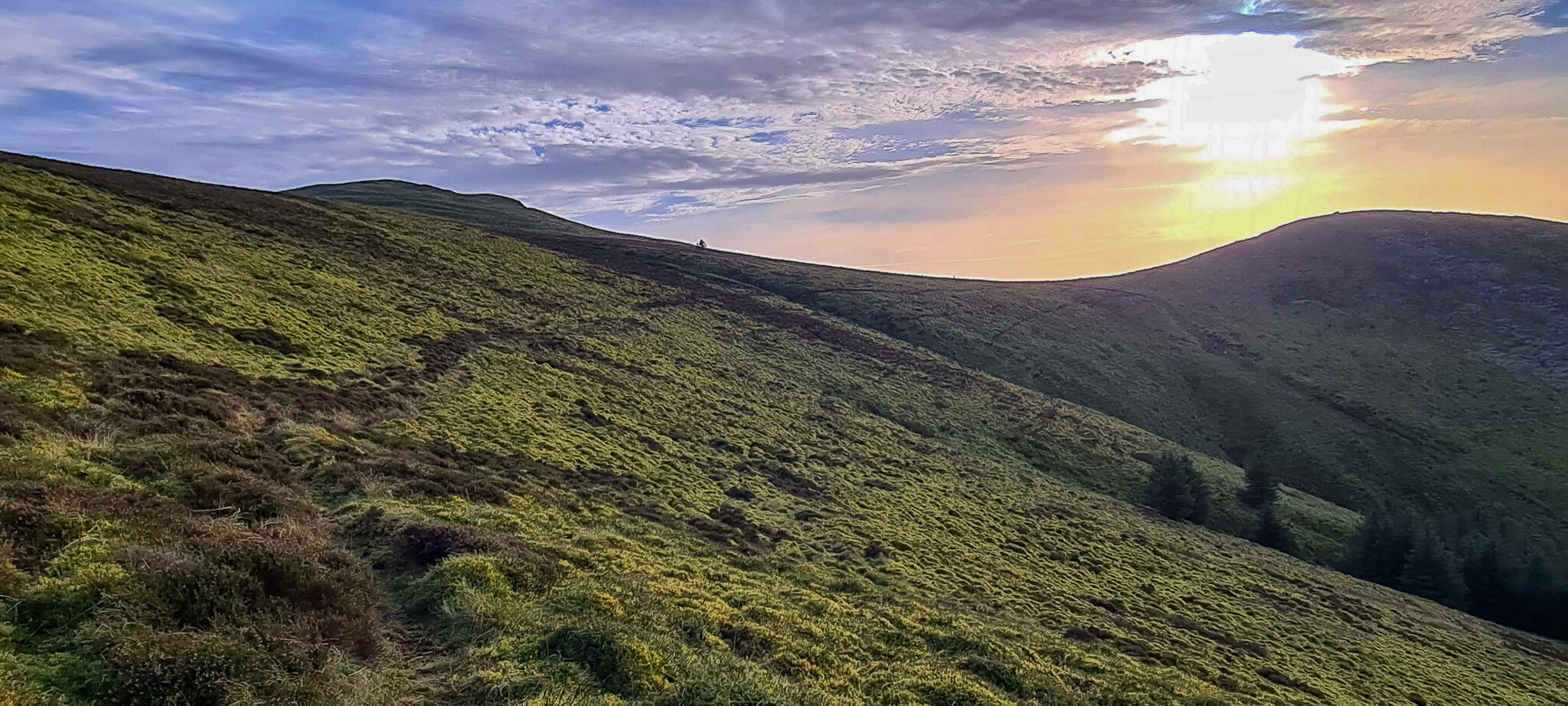
Parking is available from Felldyke as this was the starting point for the walk. However, it would have been better if we had set off early as parking can be quite tricky. From Felldyke, the road rose through a field to another gate and enters the forestry enclosure. As we emerged from the forestry, we were greeted by Blake Fell that stood proud in front and sitting below were the reflective waters of Cogra Moss. Walking besides the serene waters, we couldn’t help but think to ourselves, surely this can’t be real? Onwards, hidden away to the right of the trail is Donkey Trod, which was unexpectedly narrow and steep; a trail for a donkey no doubt? As we approached the summit for a breather, the coll path rose alongside the unforgiving forest fence which then followed to the summit of Low Pen, the steepest section, then on to Blake Fell. Once on the summit, we were surrounded by 360 views of nearby fells that lay in distant villages, also if we squinted hard enough we had glimpses of the Isle of Man!
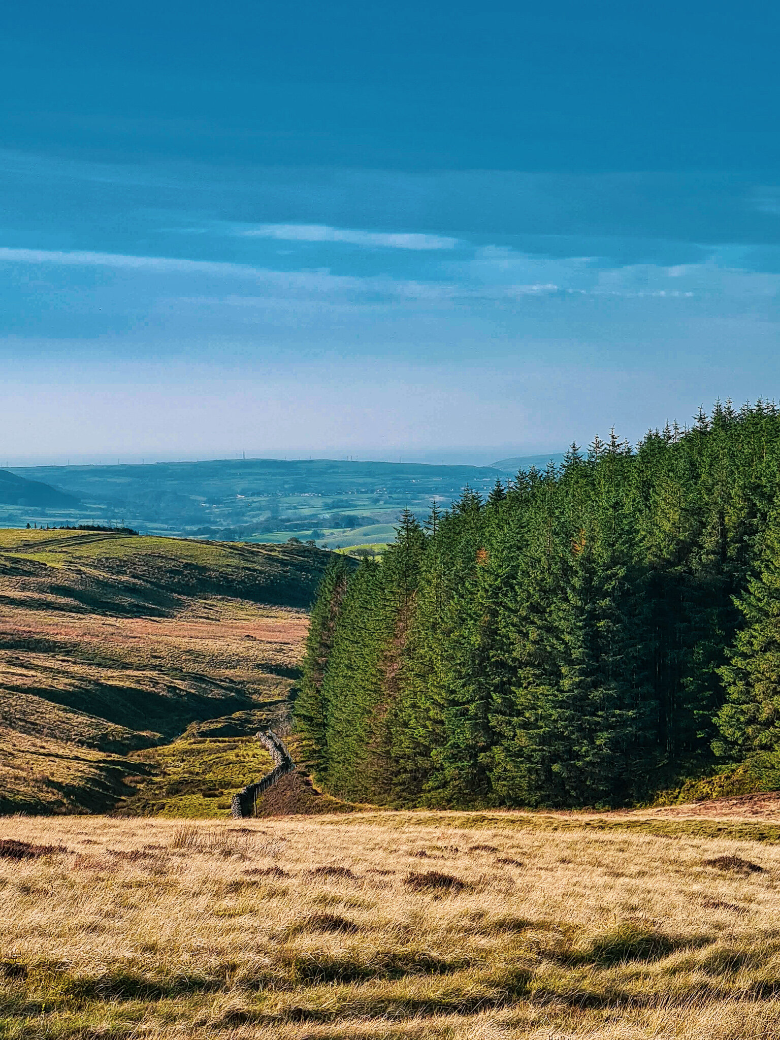
As we descended steeply towards Carling Knott, to our surprise there was a full skeleton of a sheep hanging on the wired mesh that lay ahead ; not sure how long the carcass had been there for, but it did make a great photograph ! As we followed the path, the terrain fell away on our right, opening us up to wide panoramic views on the summit, an ideal spot for lunch.
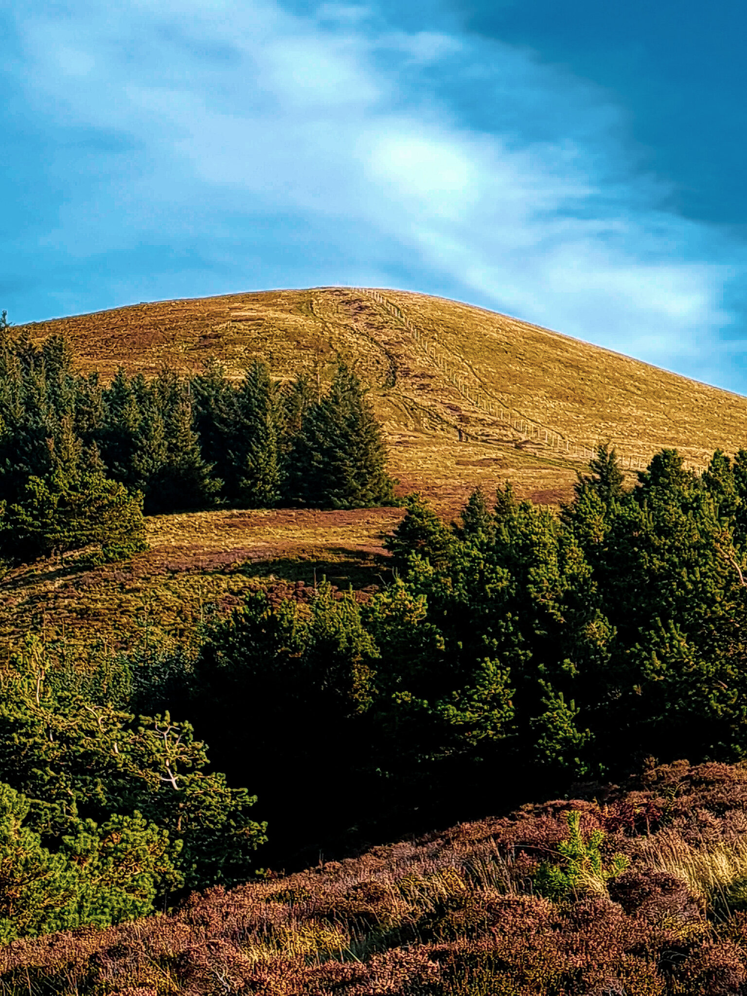
Refuelled and ready to tackle the remaining part of our hike, we navigated our way towards Burnbark Fell. “Excuse me? Do you know if this is the way to Burnbark?
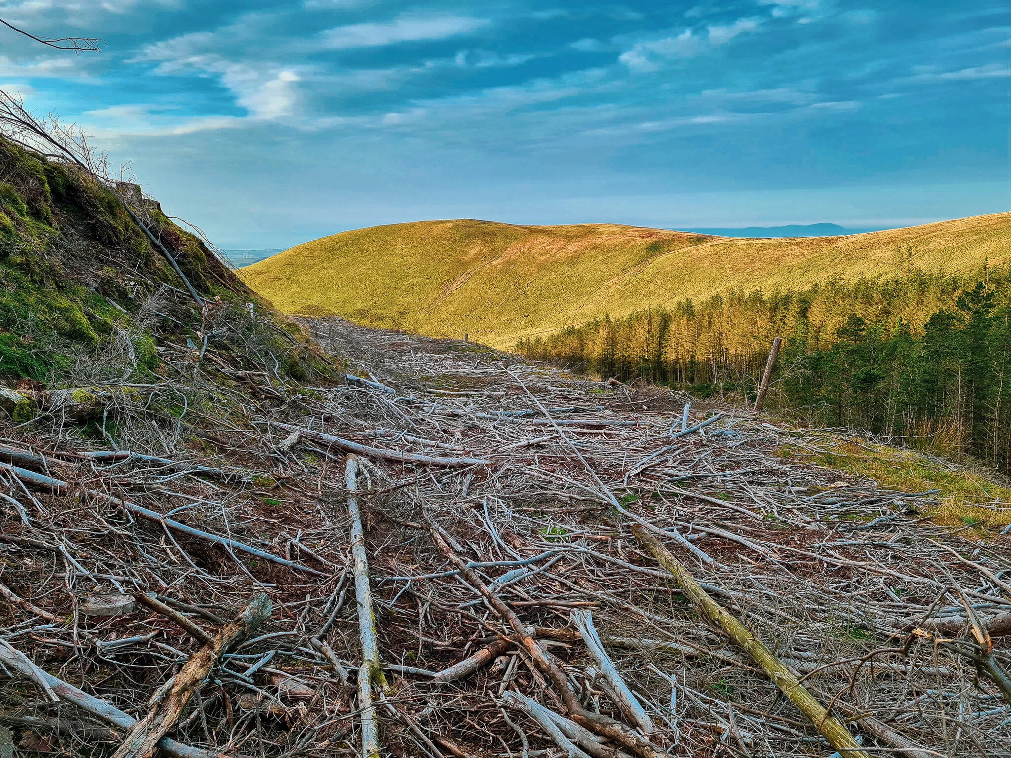
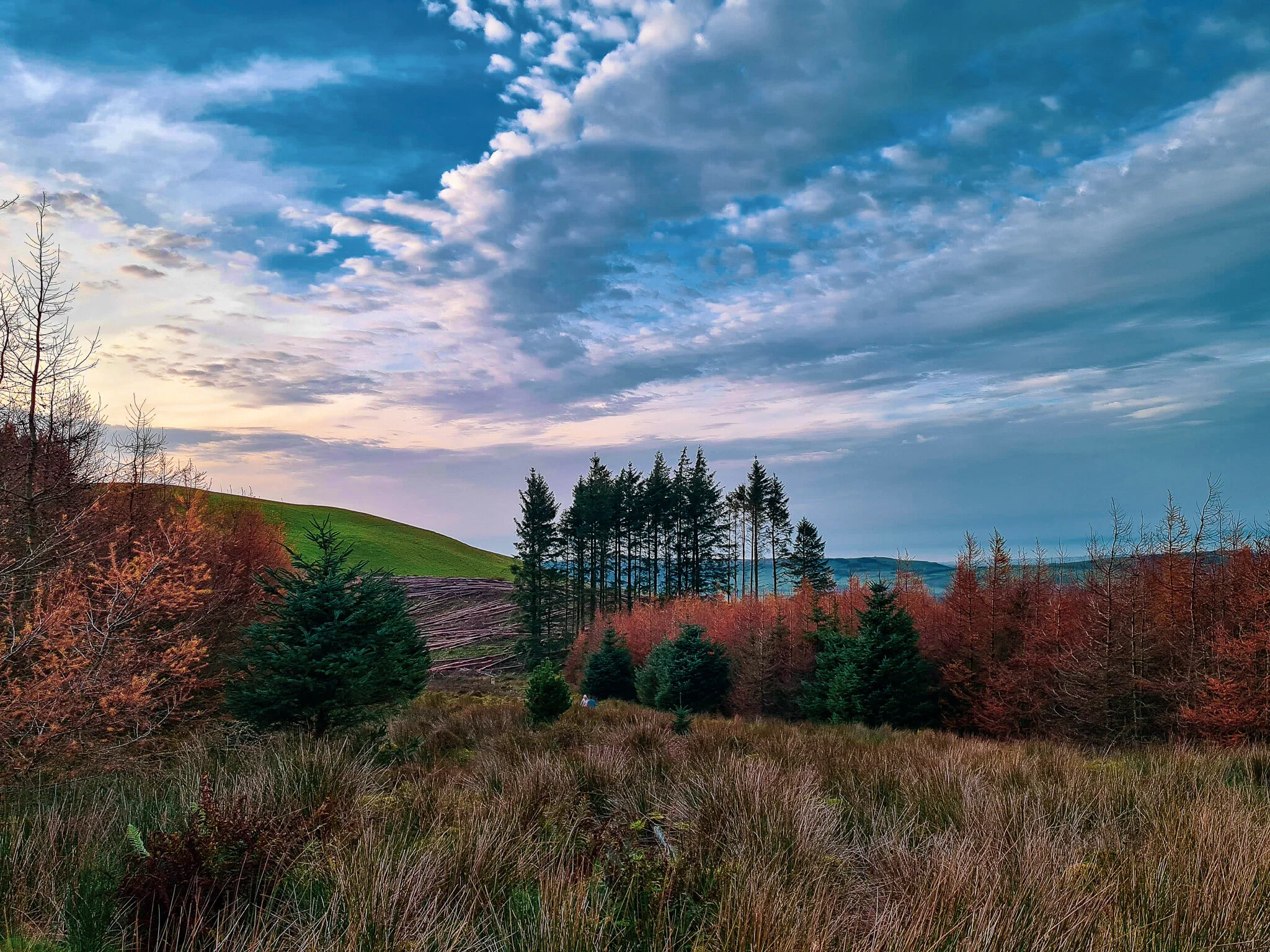
Unsure ourselves if this led to the correct fell, we agreed and proceeded up the small incline following the fence line, and to our delight it was the summit of Burnbark. We now found ourselves on the wrong side of the fence line, and the only way was to scramble over which led us to follow a narrow path alongside Blake Fell hillside towards Sharp Knott, returning on a boneyard of dead wood that dropped down towards the forest floor and alongside Cogra Moss.
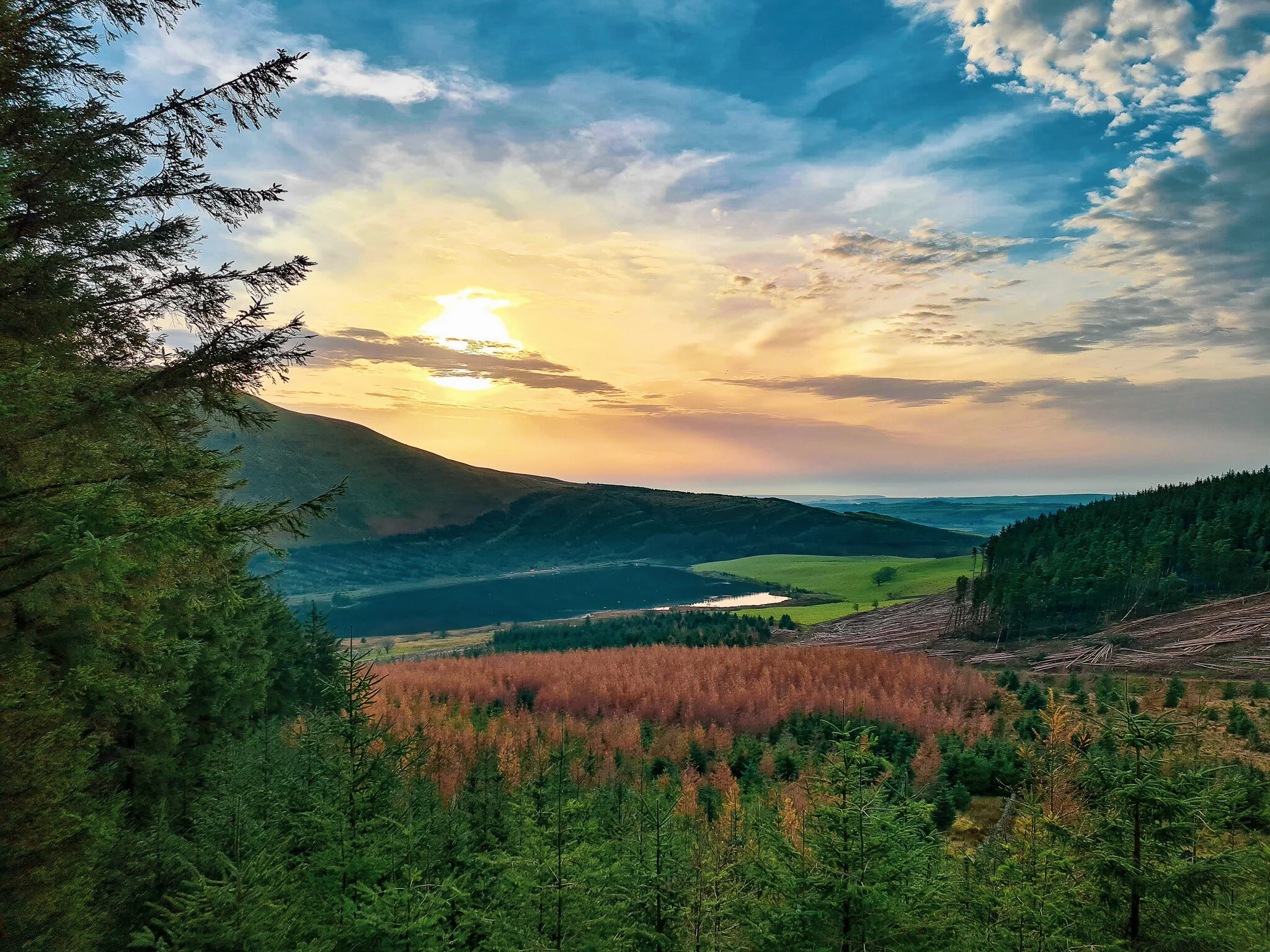
Finding our own path back to Cogra Moss made a much more interesting ending to the day and lifted our spirits, with a sense of achievement and joy, after completing yet again another spectacular hike.