

Stickle Tarn
Explore the peace and tranquillity of Stickle Tarn
Summary
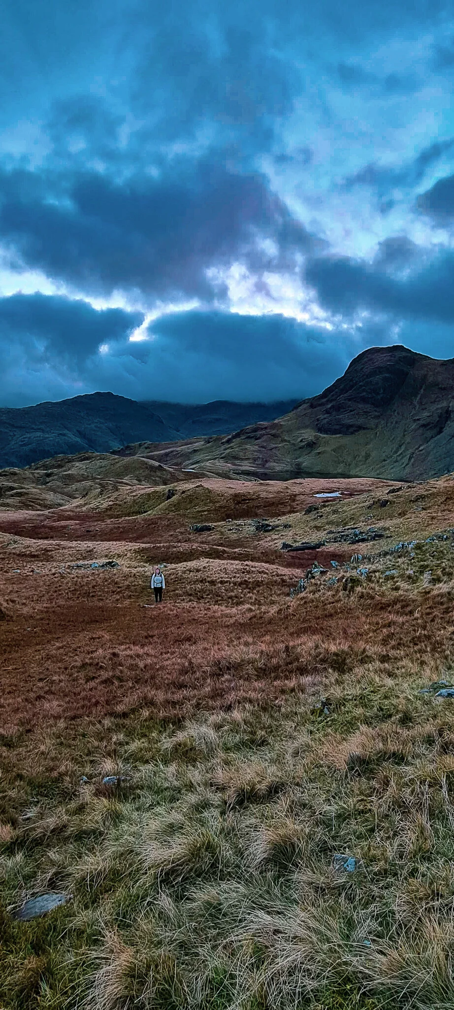
Nestled in the valley of Langdale is Stickle Tarn, a short but challenging route alongside the valley of Stickle Ghyll up to the Tarn. The uneven surface quickly heads uphill along a well-defined path that offers natural rock formations and dramatic waterfalls, making for some great late afternoon photographs.
The Hike
We parked up at Stickle Ghyll car park, which is located directly opposite the valley, a striking view in itself. From the car park the trail becomes steep very quickly, the perfect excuse to take our time and pause at every opportunity, surrounding ourselves in the dramatic landscape whilst the odd lonely sheep wonders across the path. Although the hike is short up to the Tarn, this can be quite discomforting on foot if you are not used to the terrain, unless you are a bit of a mountain goat like me and scramble up anything.


Emerging from the hill to the shores of the tarn is worth every ounce of energy. The serene waters were a great way for us to relax and refuel before trying to navigate our way to Easedale Tarn. However, it was late in the afternoon, so we had to move quickly. The sun was setting fast and we began to find ourselves more and more lost roaming around the fells, so we called it a day and headed back the way we came up, although by this time it was extremely dark. Luckily I had brought a head lamp, so it was slightly easier to navigate back down to the car.


Even though we didn’t see Easedale Tarn, it will always be there, and it is an excuse to come back and explore the area.